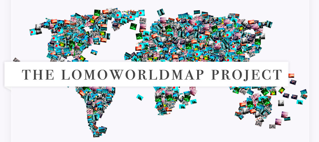
The LomoWorldMap is a gigantic, real (analogue) map which – through Millions of snapshots from tens of thousands of people – depicts the world Lomographically. Each village, city, country and each continent is represented by a heap of analogue pictures that come from Lomographers worldwide.
Think of a giant walkable LomoWall in the shape of the world (and in a smaller scale: of a city, a country, a continent) where each image comes from and represents the actual place it takes on the map. Imagine walking from one city to another on a LomoWall that’s even bigger than a football field.
The LomoWorldMap however, is not a documental geography project (as for example GoogleEarth and the flickr World Map are), but consists of pure Lomography: subjective depictions of the world, not solely landscape views but images of wild and lovely people, animals and insects, crazy colours, crooked angles, skyscrapers and urban jungles, insane parties and boring thanksgiving dinners, risky microwave experiments and daring wildlife adventures, close encounters with aunt Gerlindes hairy leg, last nights party mixed with a birds eye view from your recent parachute chump over Guatemala, and so on... Other than conventional portraits of cities or countries (where a selection of photos, mostly from one photographer, represents these places) the LomoWorldMap is an amalgamation of nearly countless Lomographs of nearly countless places from nearly countless Lomographers of the world. This is an immense online and offline project which we will kick off in various stages, launching several countries and/or continents simultaneously for at least a decade until the year 2020.
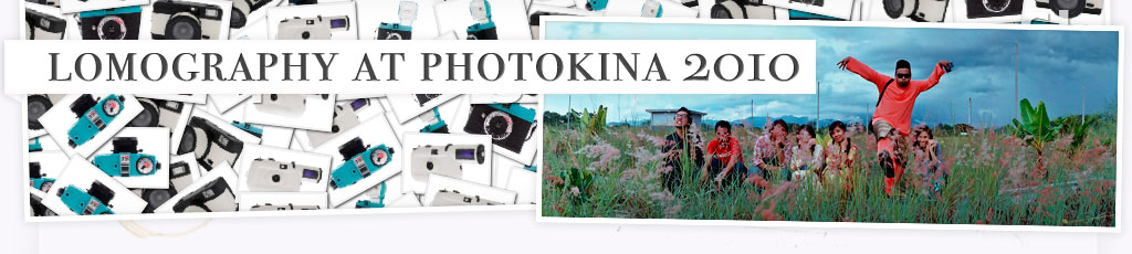
The LomoWorldMap Germany Exibition at photokina 2012
During photokina 2012 we will unveil the LomoWorldMap Germany as a giant “walkable photo-map of Germany”(approx. 5000 m2 of LomoWall on the floor) which will be spread between the “Kölner Dom” (cologne cathedral) and the “Köln Hbf” (central train station of the city of Cologne). The LomoWorldMap Germany will consist of Millions of snapshots from thousands of people: German cities, villages, people, (sub)cultural places and much more is represented throughout a heap of analogue pictures that come from Lomographers. Within a few minutes you walk right across the Lomographic perception of the country from Munich to Berlin. This is the first partial result of the LomoWorldMap Project that will be going on for next ten years until 2020 and will become an important giant “real” document in the future due to its analogue existence. Shoot away and submit all your LomoLocations on our website to participate in the biggest Lomographic project ever!
